


Please note that this post contains affiliate links and any sales made through such links will reward MageeNews.com a small commission – at no extra cost to you.
Tropical Storm Arthur Could Bring Heavy Rain, Flooding Threat to Magee Area Thursday
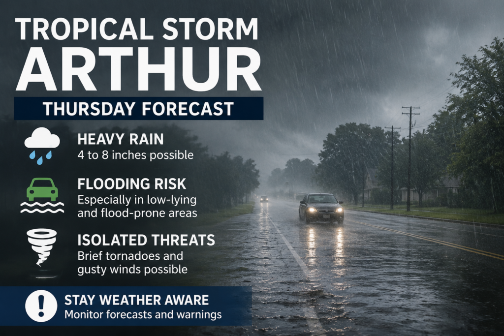
MAGEE — Residents across Simpson County should prepare for a wet Thursday as the remnants of Tropical Storm Arthur move across Mississippi, bringing the potential for periods of heavy rain, localized flooding, and a few isolated severe storms.
According to the National Weather Service in Jackson, the greatest concern for central and south Mississippi will be excessive rainfall. Forecasters say tropical moisture associated with Arthur could produce several inches of rain across the region, with localized higher amounts possible where heavier bands of rain develop.
The Weather Service also notes that a few brief, weak tornadoes and isolated damaging wind gusts cannot be ruled out as the system moves through the state Thursday.
For the Magee area, expect cloudy skies with numerous showers and thunderstorms throughout the day. Heavy rainfall may lead to ponding on roads and rapid rises in creeks, ditches, and other low-lying areas. Motorists are encouraged to use caution and never drive through flooded roadways.
While Arthur is expected to weaken after moving inland, tropical systems often produce their greatest impacts from flooding rainfall rather than strong winds. Residents should remain weather aware, especially if Flash Flood Warnings or Tornado Warnings are issued.
The National Weather Service recommends:
- Monitor the latest forecasts throughout Thursday.
- Have multiple ways to receive weather warnings.
- Avoid traveling during periods of heavy rain if possible.
- Never drive through flooded roads. Turn Around, Don’t Drown.
MageeNews.com will continue monitoring the forecast and provide updates as conditions change.